

Emergency Comms Dashboard
The ACURA emergency comms dashboard puts everything a South Jersey ham needs during a storm on one screen. When bad weather is coming, open this page first. It shows live National Weather Service alerts, hurricane tracking, radar, lightning, power outages, the Atlantic City tide gauge, and the times of our AUXCOMM and SKYWARN nets. Best of all, it updates on its own.
⚠️ National Weather Service Alerts
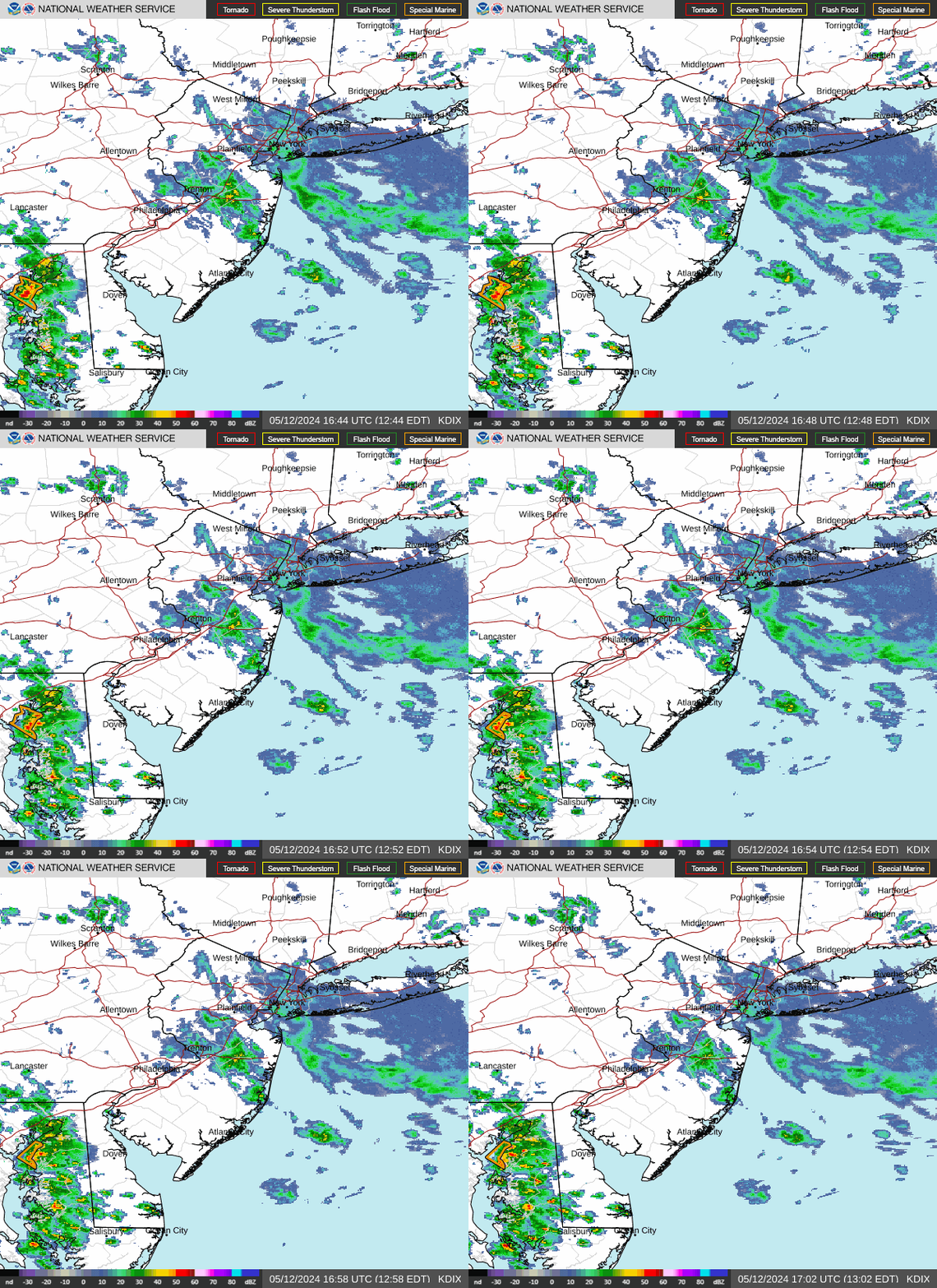
⚡ Lightning (GOES Satellite)

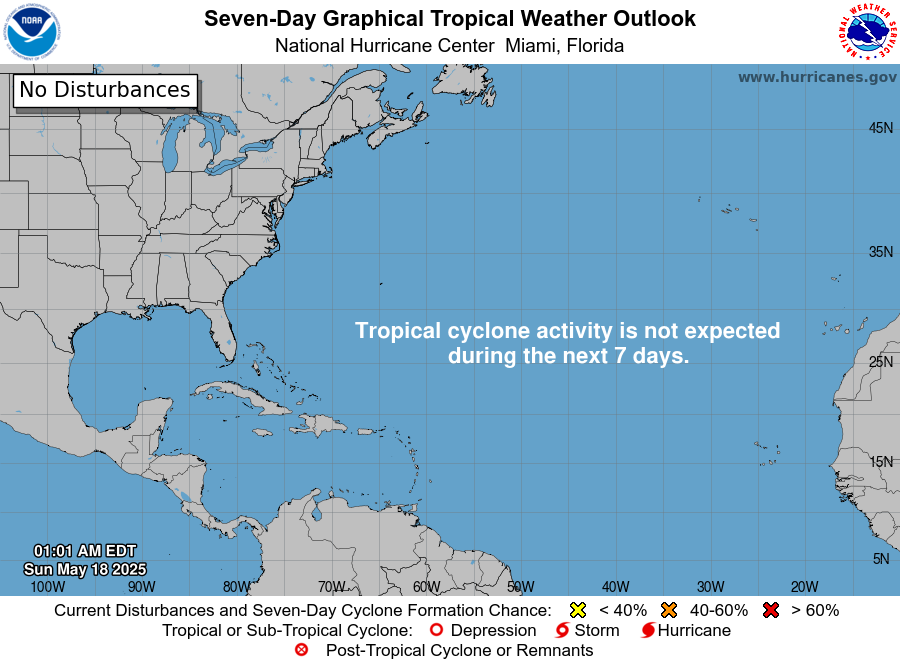
🌀 National Hurricane Center
💡 Atlantic City Electric Power Outages
🌊 Atlantic City Tide Gauge
📻 Nets & Frequencies
| Net | When | Where |
|---|---|---|
| AUXCOMM / SKYWARN | Mondays 8:00 PM | ACURA & SCARA repeaters |
| ACURA Club Net | Thursdays 7:00 PM | ACURA linked repeaters |
| Repeater | Tone | Area |
|---|---|---|
| 147.165 | 91.5 | Egg Harbor City area |
| 445.875 | 85.4 | Atlantic City |
| 224.240 | 100.0 | Galloway Township |
| EchoLink | AG2NJ-R · node 447979 | |
🎒 Storm Go-Kit Checklist
- Handheld and mobile radios charged, plus spare batteries
- Repeater and simplex frequencies printed on paper
- Battery or generator power for your base station
- Flashlight, headlamp and a battery weather radio
- Logbook, pens and the net check-in procedure
- Phone power bank and charging cables
- Water, snacks and any medications for 72 hours
How to Use the Emergency Comms Dashboard
Start with the banner at the top. It turns yellow for an advisory, orange for a watch, and red for a warning anywhere in South Jersey. Next, read the alert details from the National Weather Service in Mount Holly. Then check the radar and lightning maps to see what is heading our way. During hurricane season, the storm tracker uses data from the National Hurricane Center and tells you how far each storm is from Atlantic City.
Why Hams Watch the Tide and the Power Grid
Coastal storms bring flooding as much as wind. For that reason, the dashboard compares the real water level at Atlantic City with the predicted tide. A big difference means storm surge is building. Likewise, the outage map shows where Atlantic City Electric customers have lost power. When the grid goes down, ham radio keeps working, and that is exactly when your community needs you on the air.
Get Ready Before the Storm
First, charge your radios and print your frequencies. After that, check in to the Monday night AUXCOMM and SKYWARN practice net so you know the routine. Also, keep a printed copy of the repeater list in your go-kit, because the internet may go down when you need it most. Finally, learn how nets work on our nets guide and keep the Net Check-In Board handy. Not licensed yet? Our New Hams page shows you how to get started.